目次
JR栗山駅から馬追丘陵縦走、三川駅まで 1/2
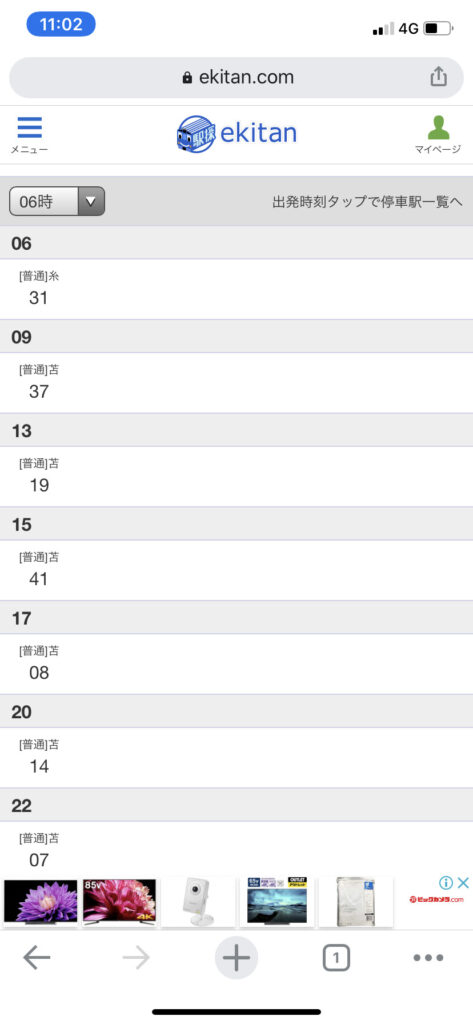
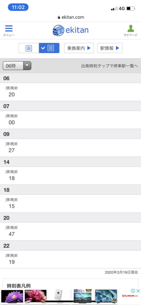
▼室蘭本線三川駅に車をデポ。06:15発岩見沢行きの普通列車に乗る。
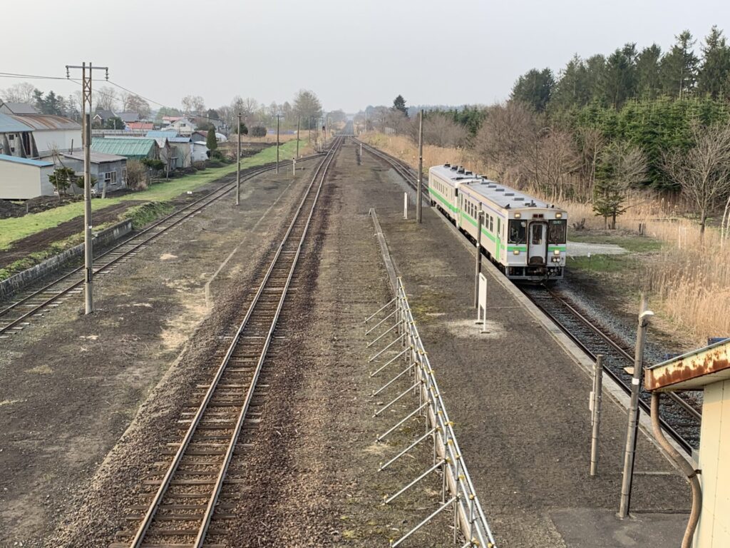
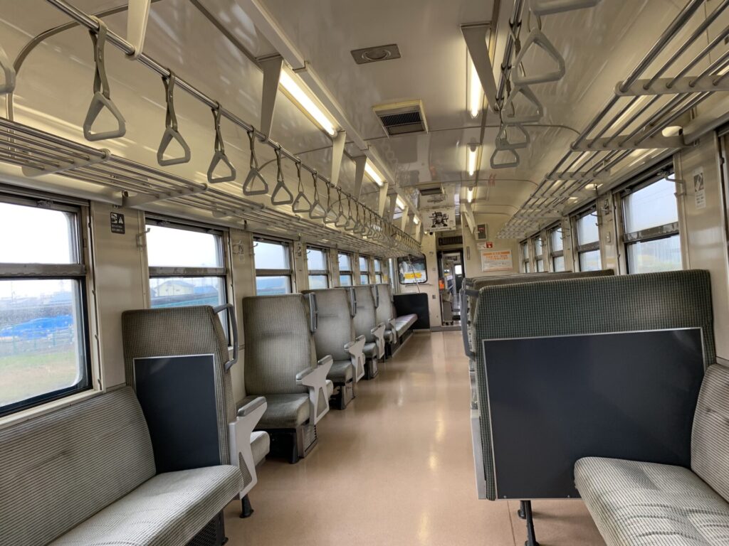
▼2両編成、乗客は自分以外無し。
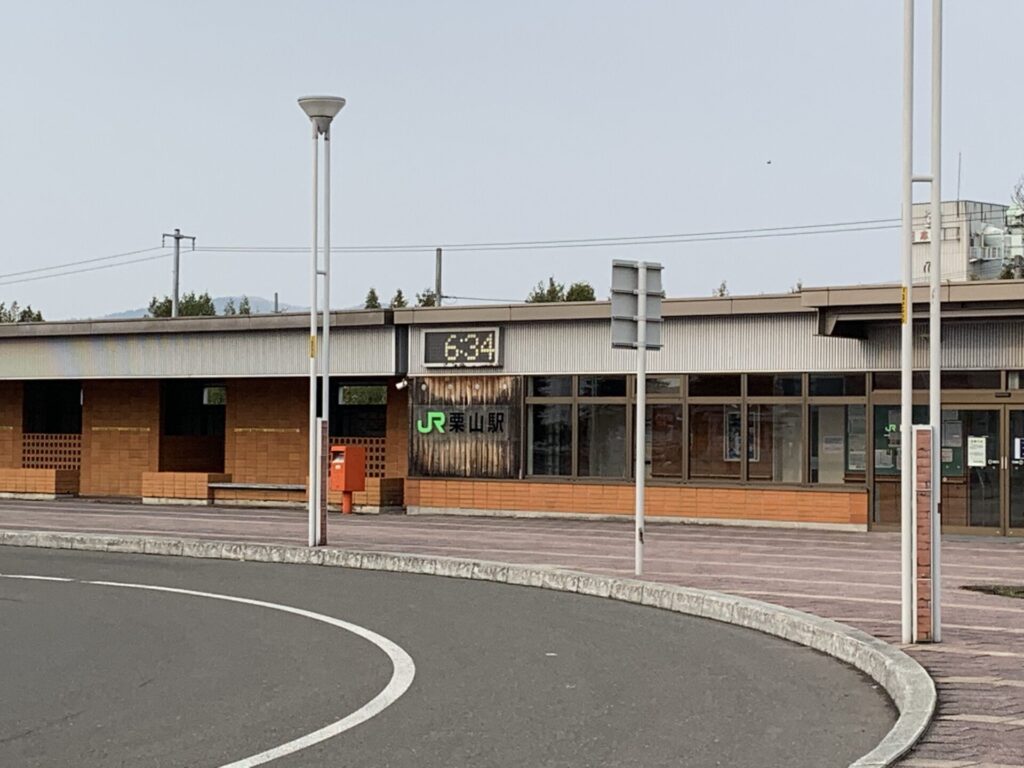
▼06:30 栗山駅に着
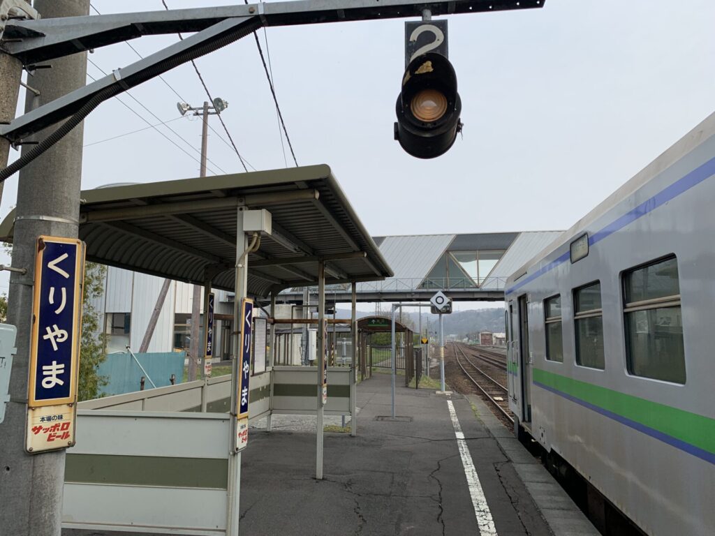
▼栗山駅
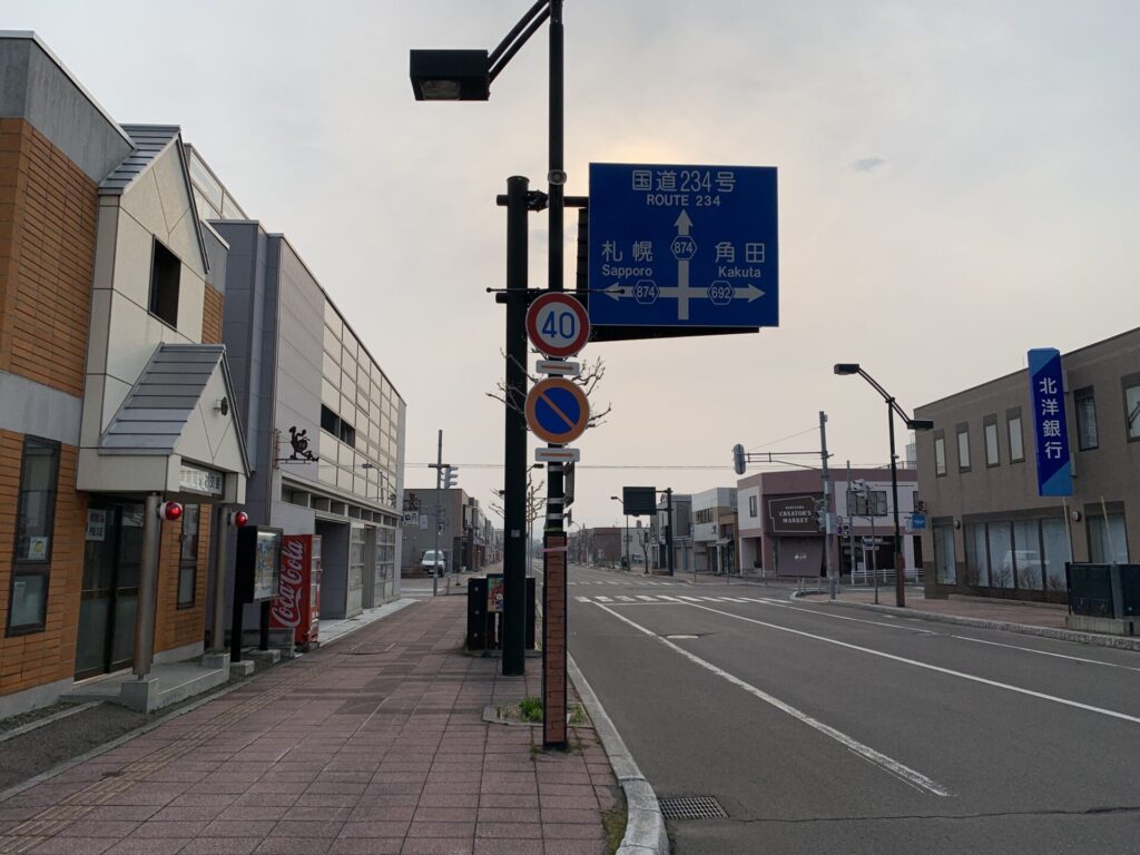
▼駅前通り。想像以上に町は大きい!
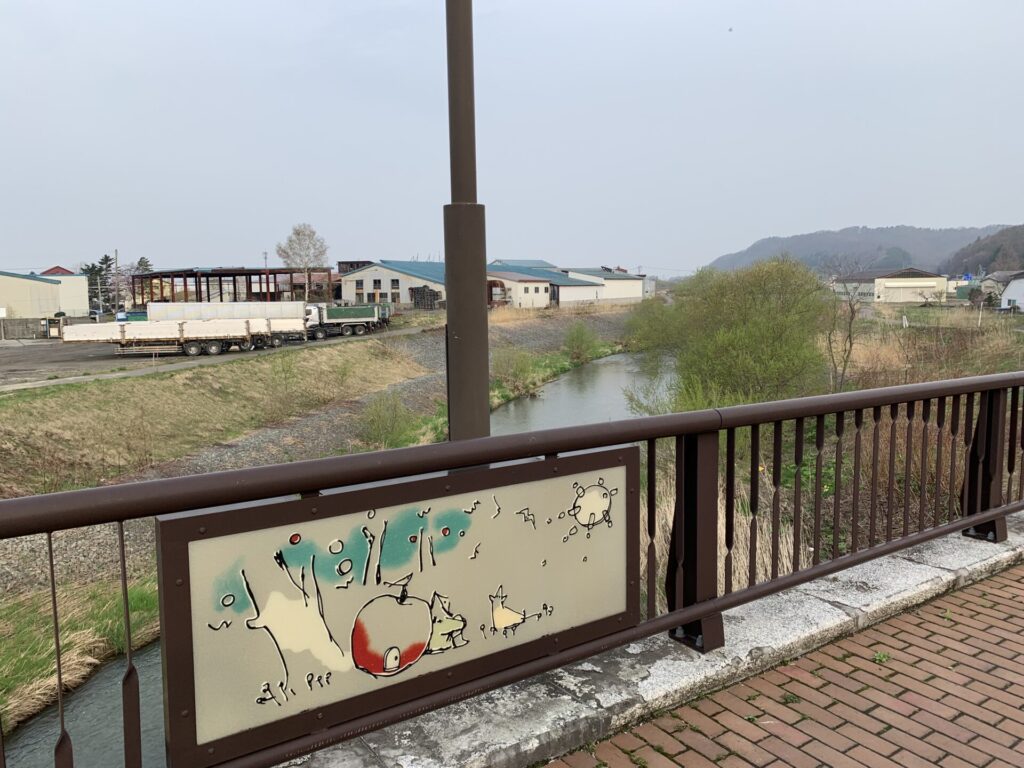
▼絵巻物的?
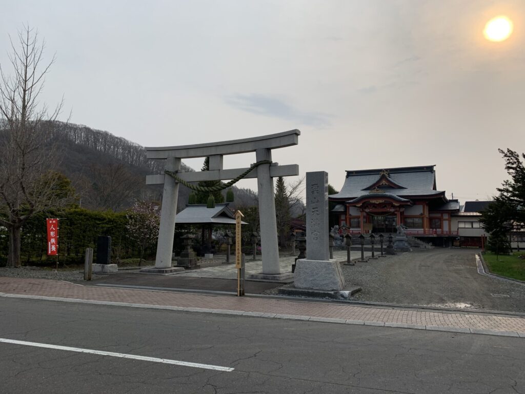
▼栗山神社
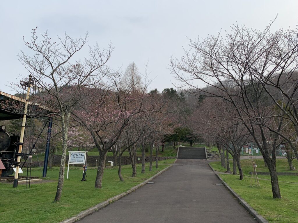
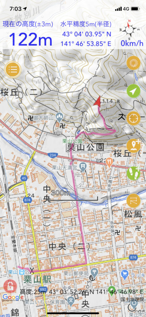
▼栗山公園
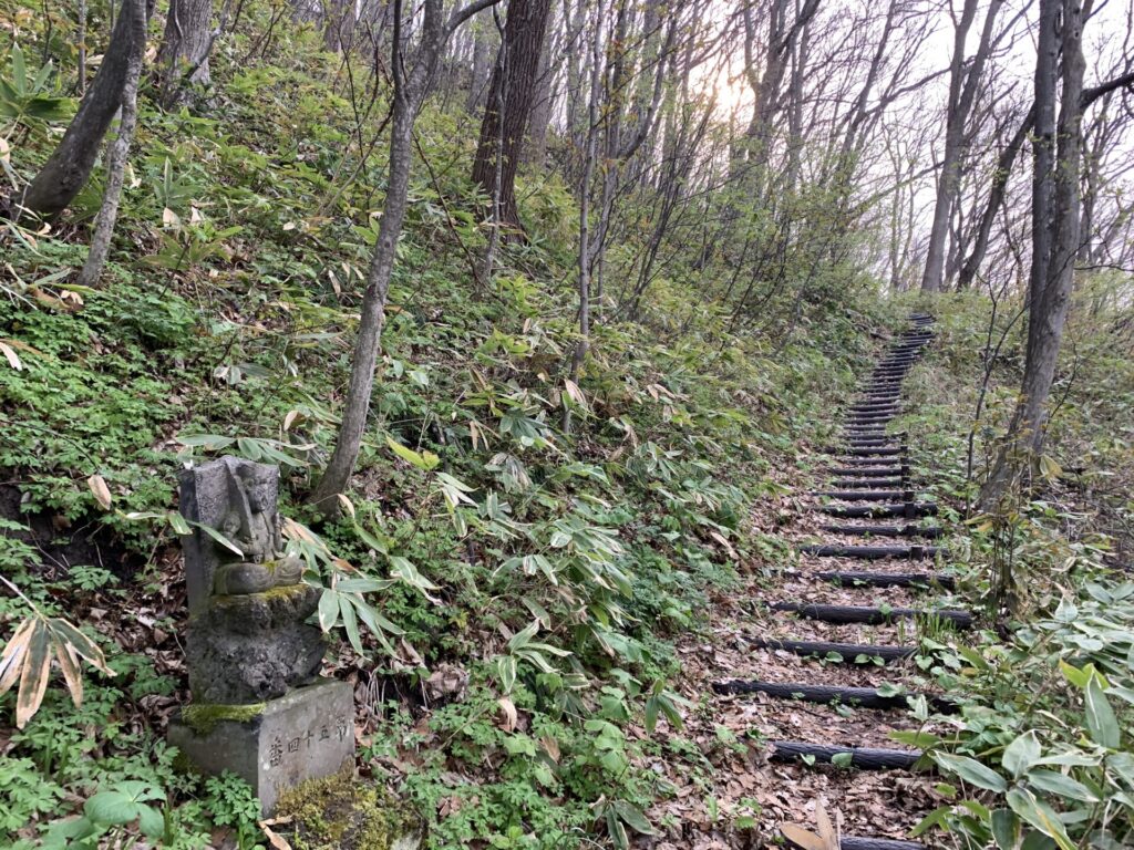
▼御大師山(おだいしやま)へ
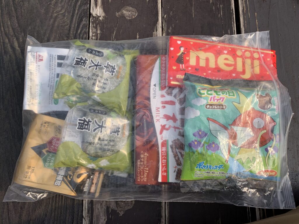
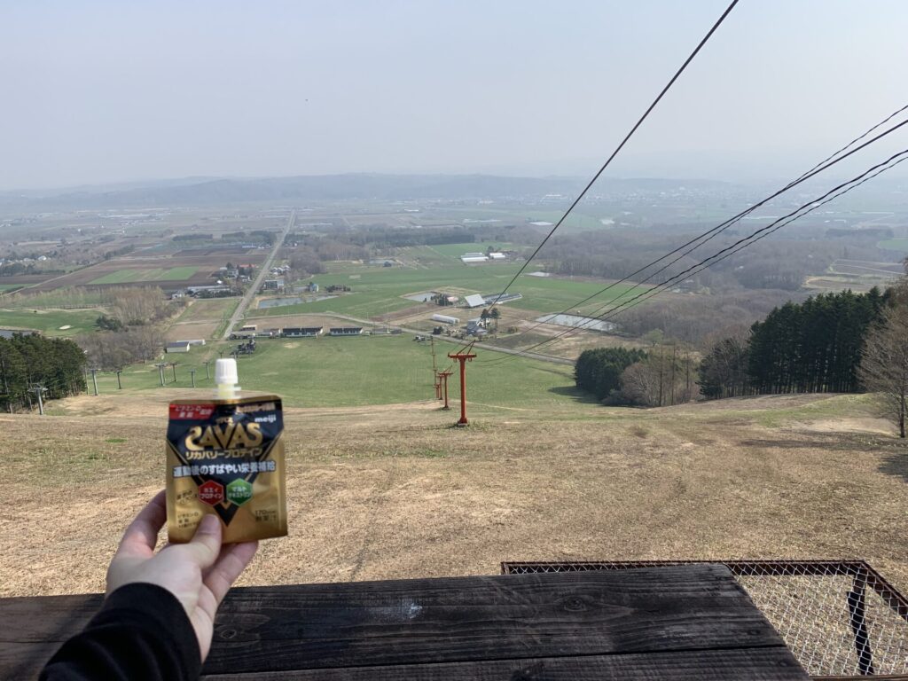
▼頂上にて、今日の携行食を公開
▼御大師山(おだいしやま)
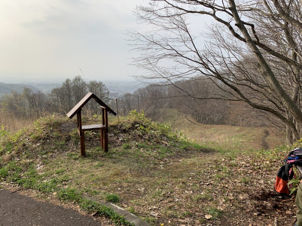
▼位置
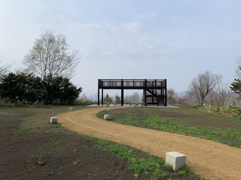
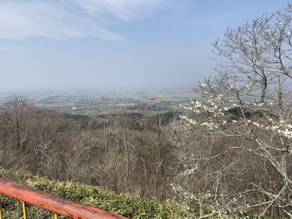
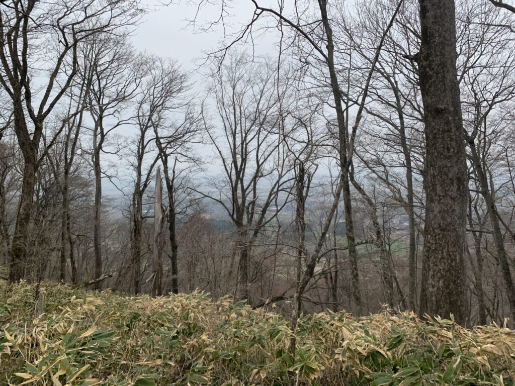
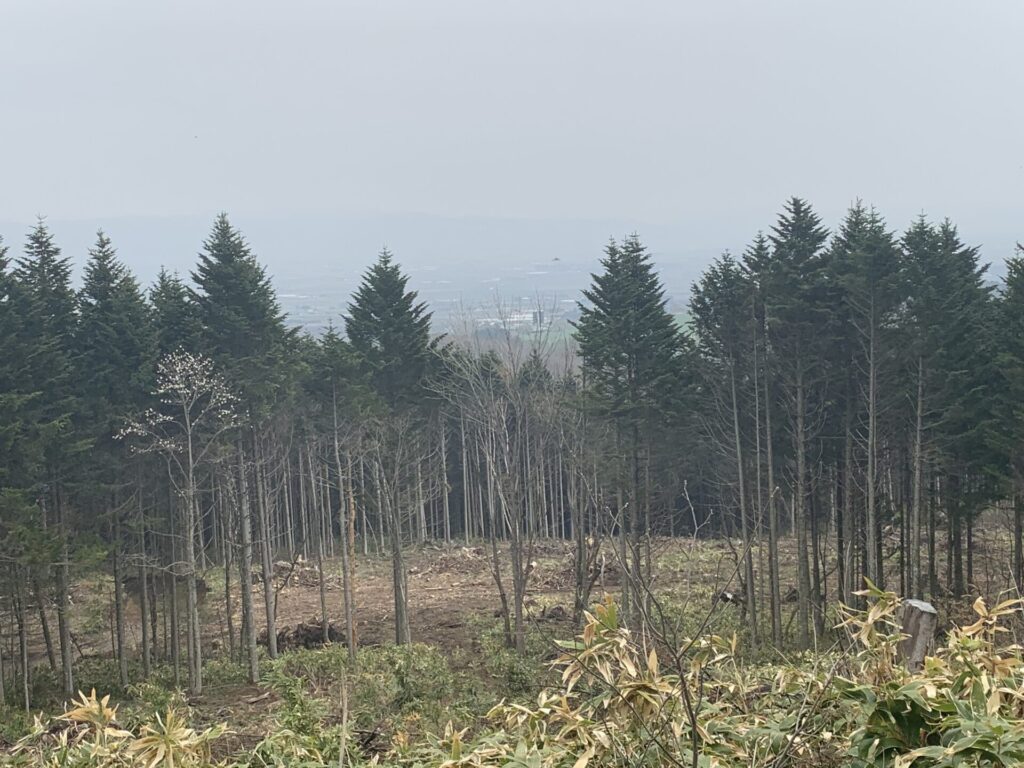
▼すこし西へ進むと枝道から真新しい展望台がある。
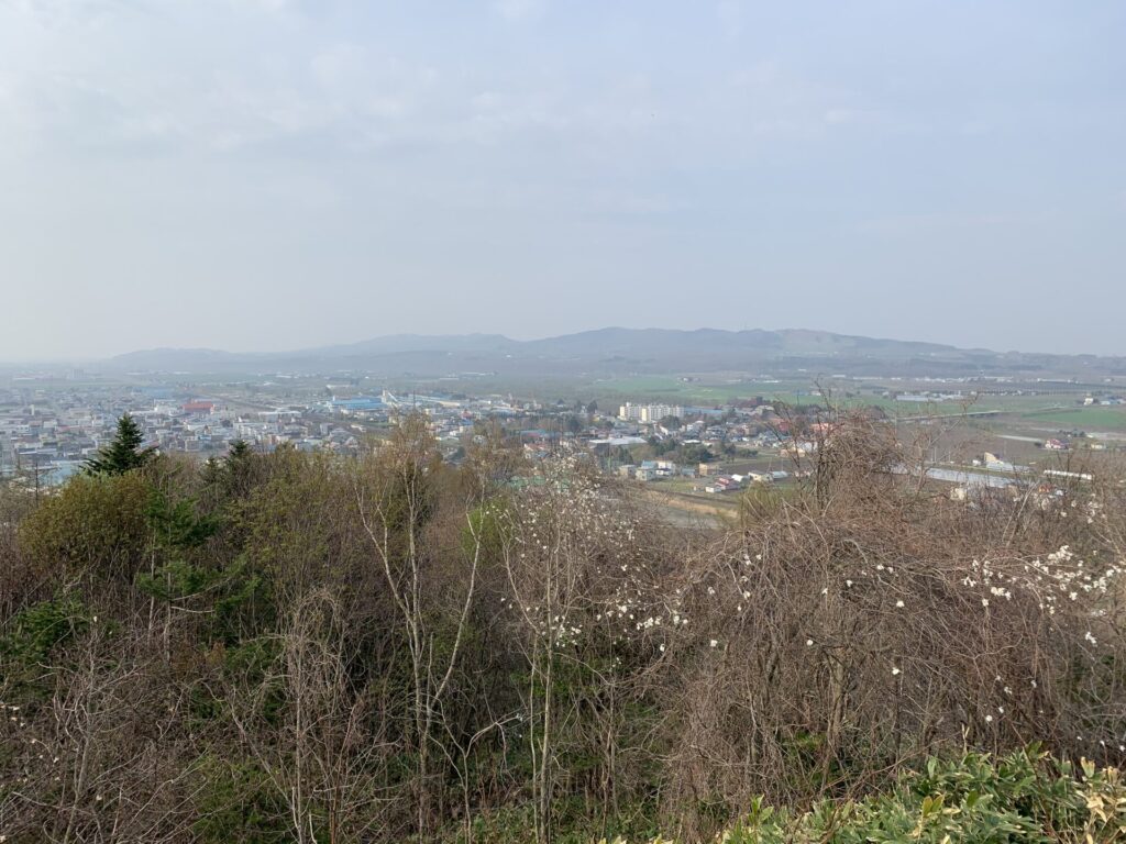
▼眺望
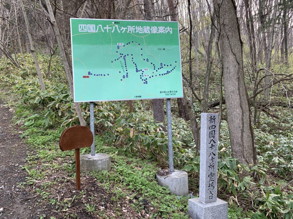
▼四国八十八箇所?ピンとこない。
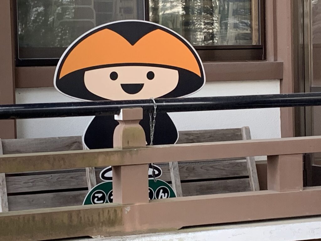
▼こうやくん
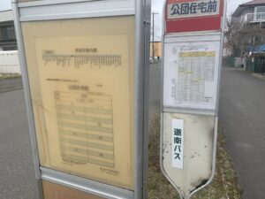
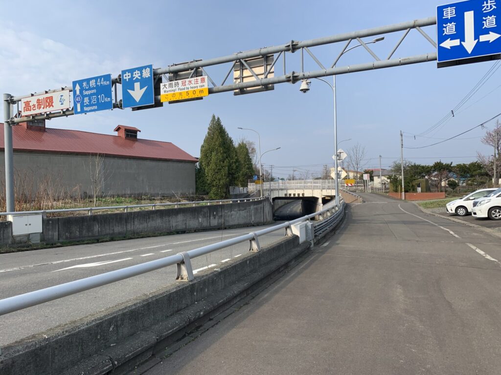
▼栗山アンダーパス
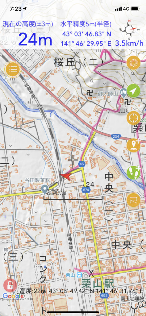
▼位置
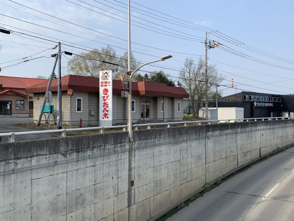
▼きびだんご
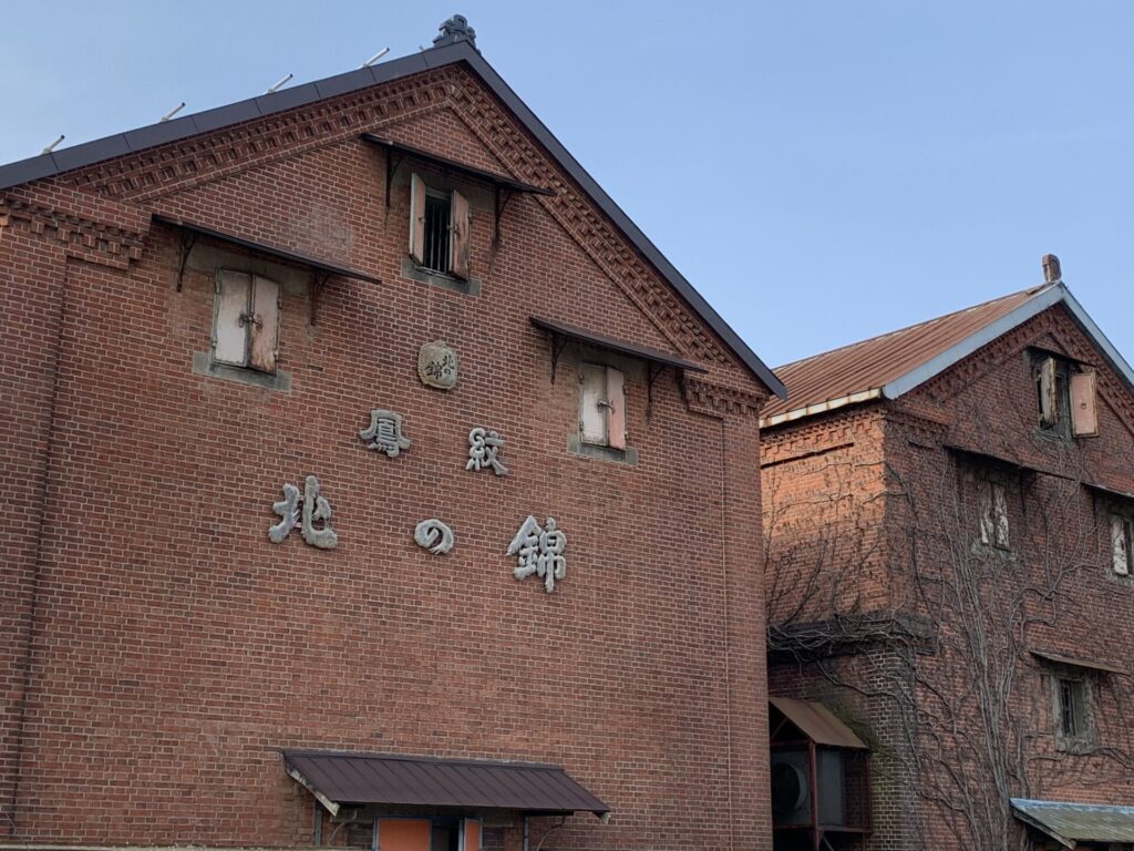
▼北の錦
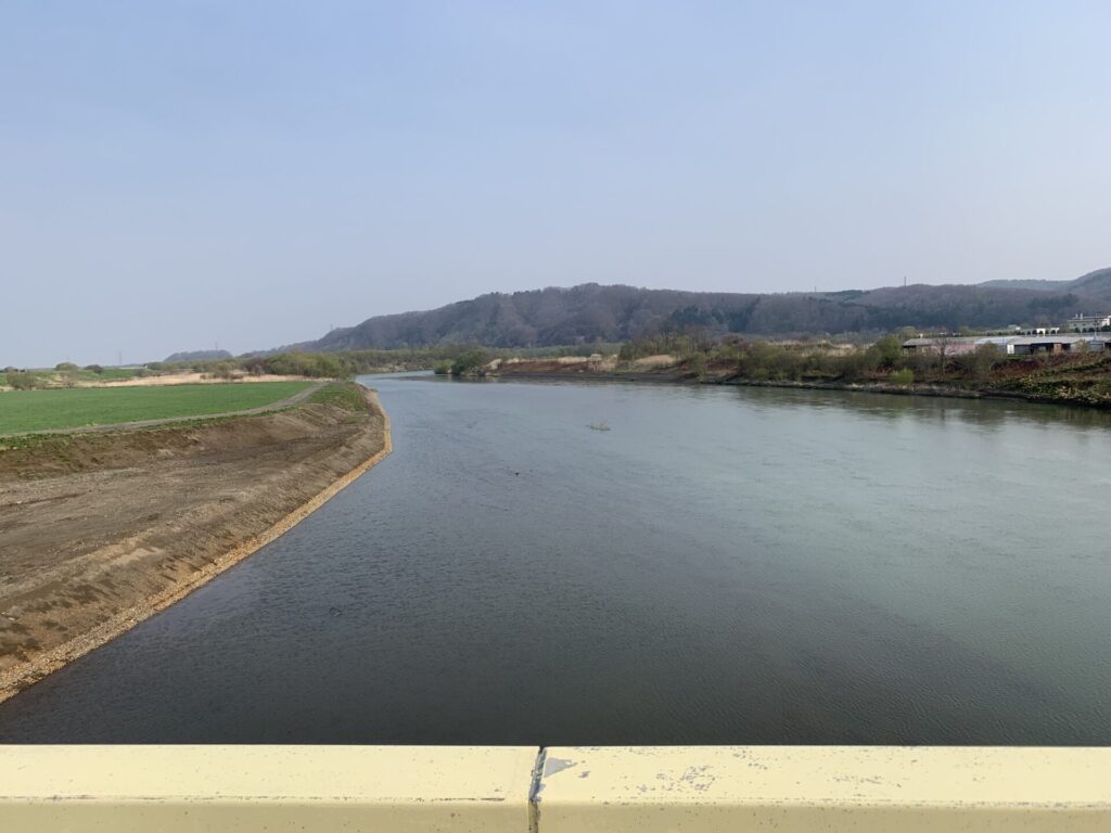
▼タ張川
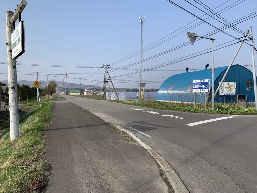
▼左折
▼位置
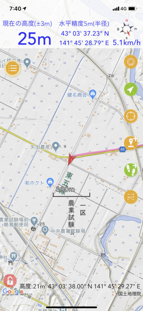
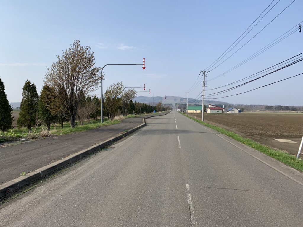
▼長い直線4km
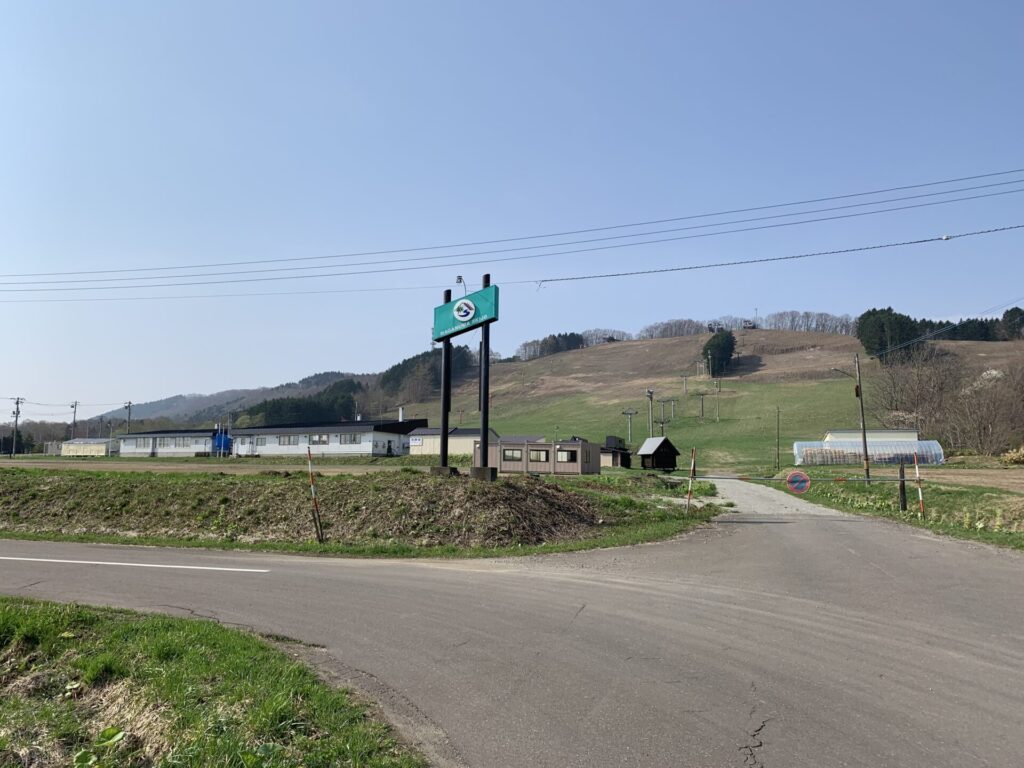
▼スキー場を直登に決定
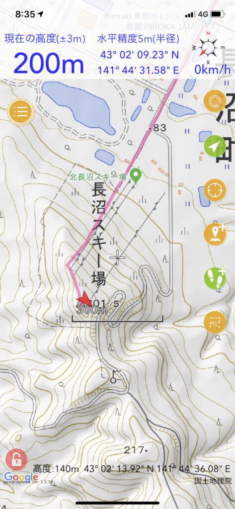
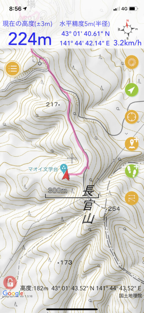
▼位置
▼きつい
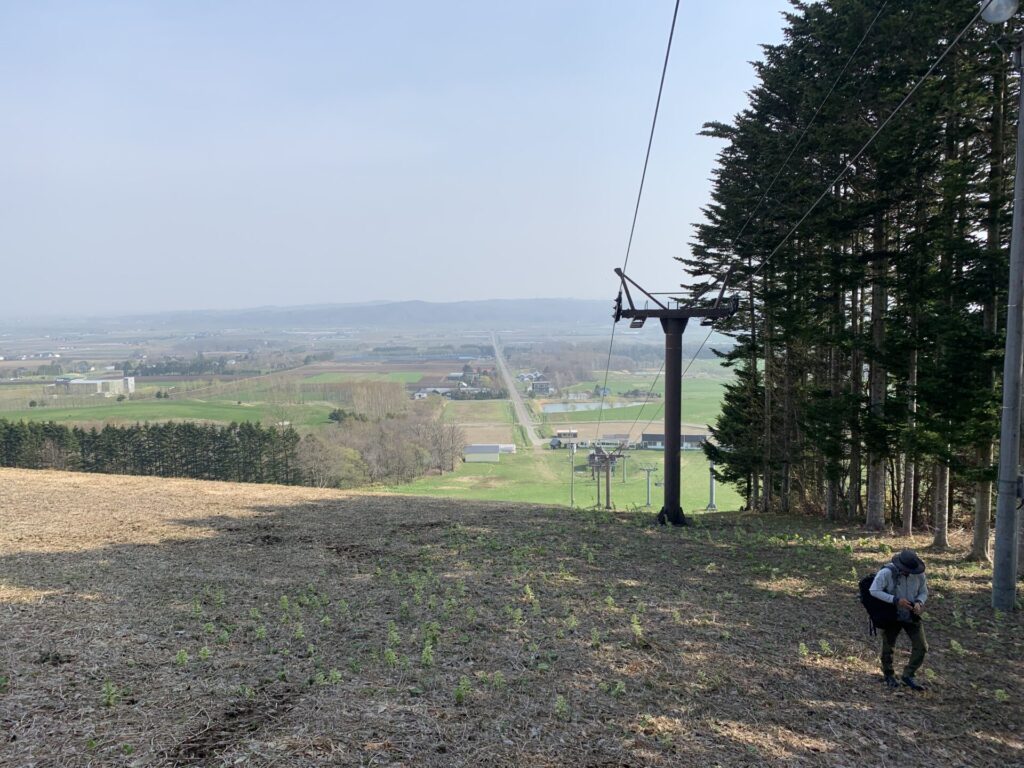
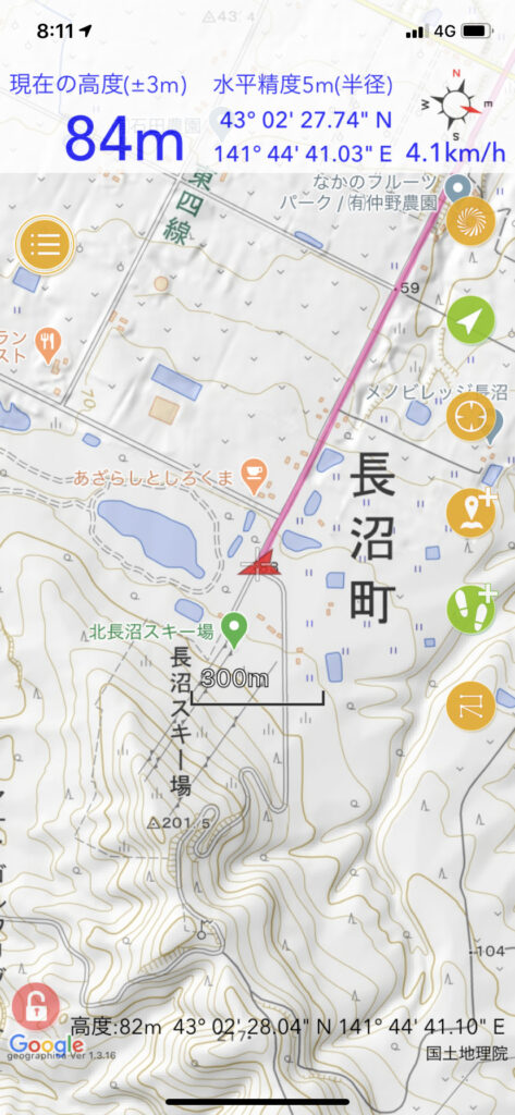
▼頂上
▼位置
▼左折
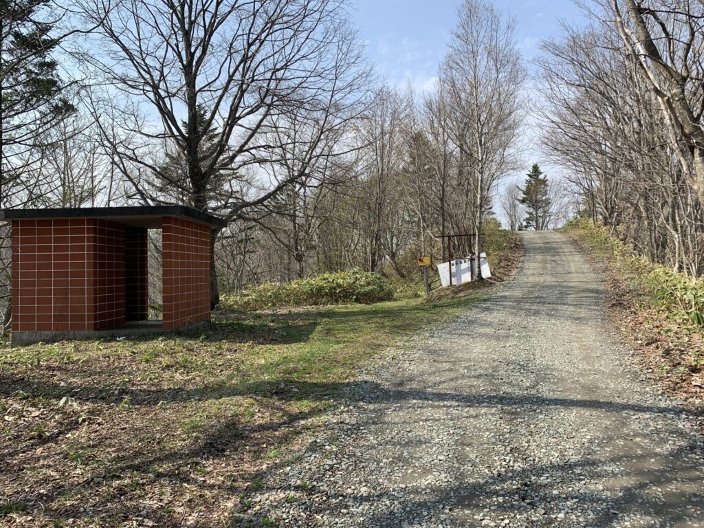
▼トイレ
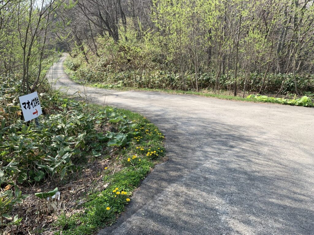
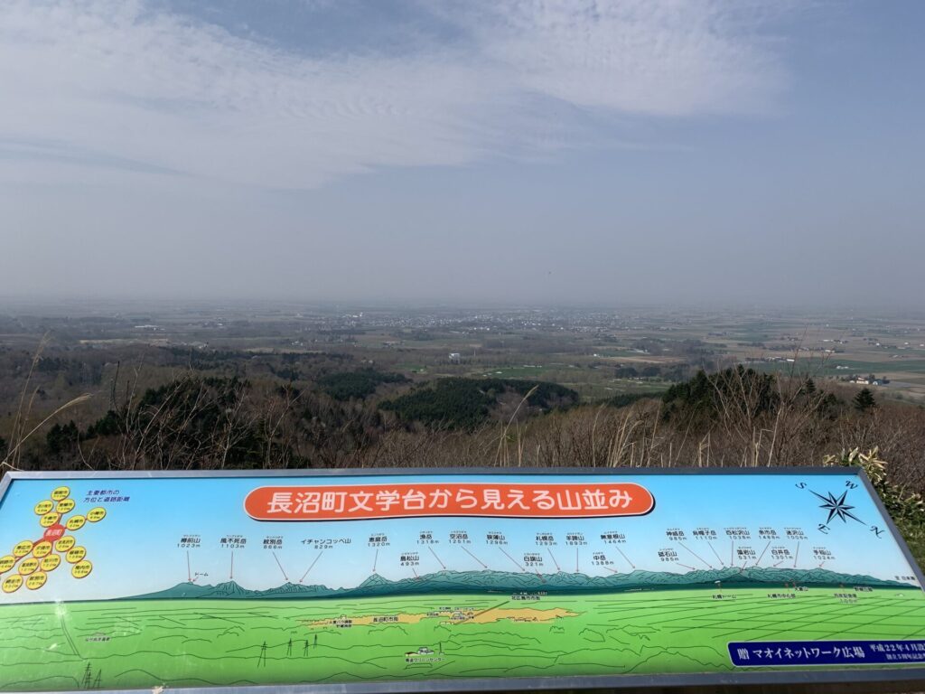
▼マオイ天文台
▼かすんで見えず。
▼位置
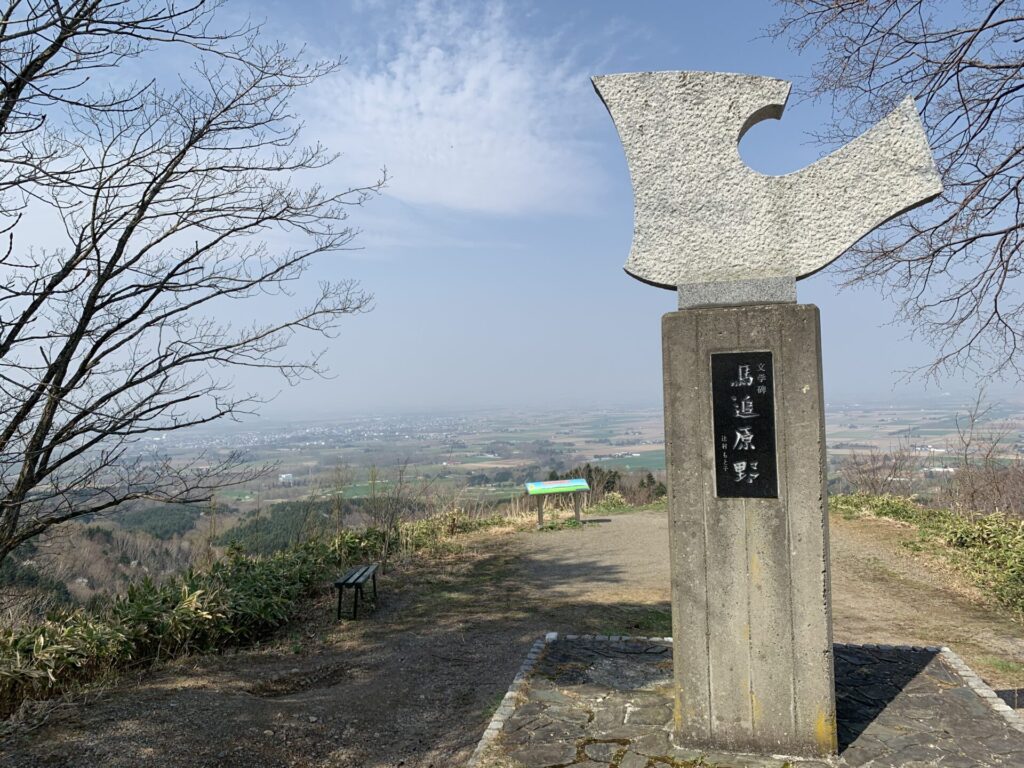
▼長官山
▼長官山
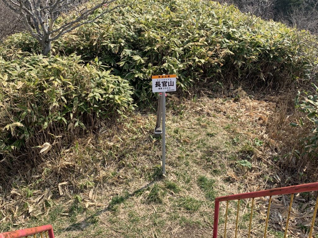
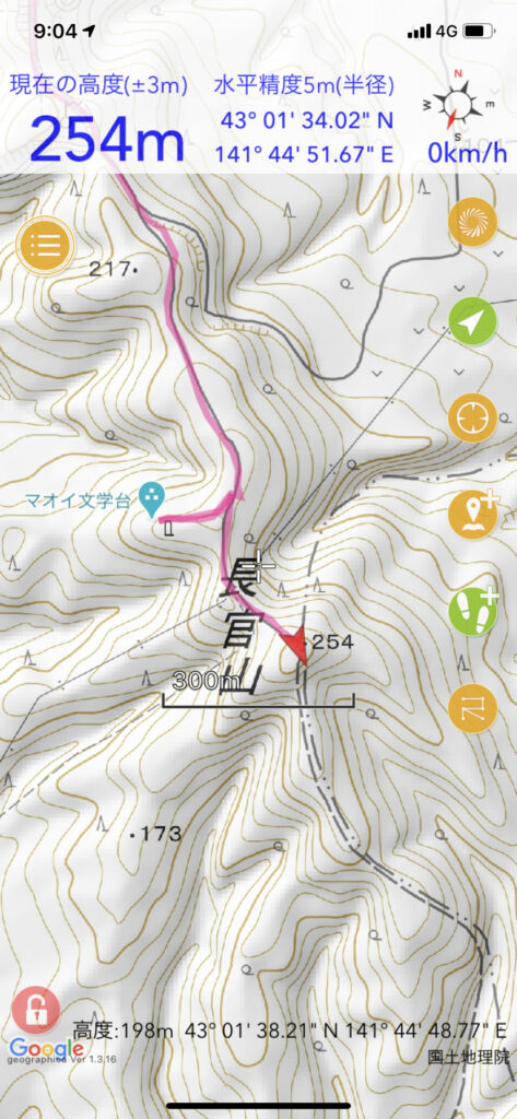
▼位置
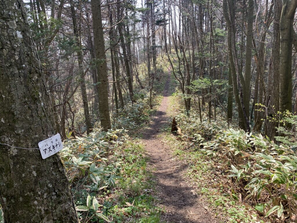
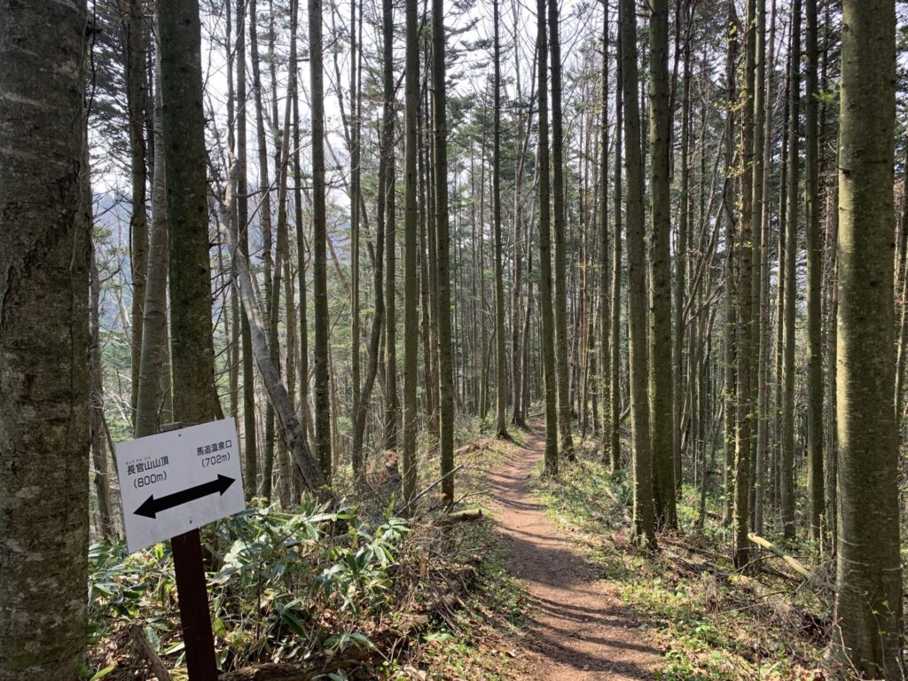
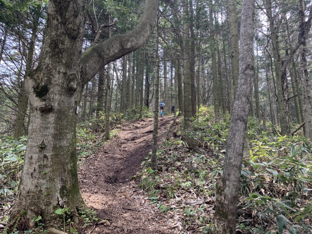
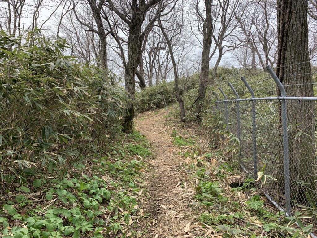
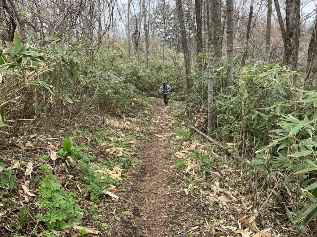
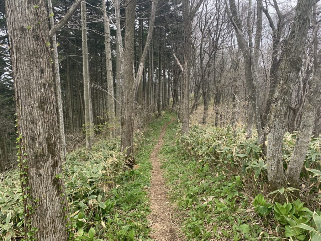
▼整備された散策路
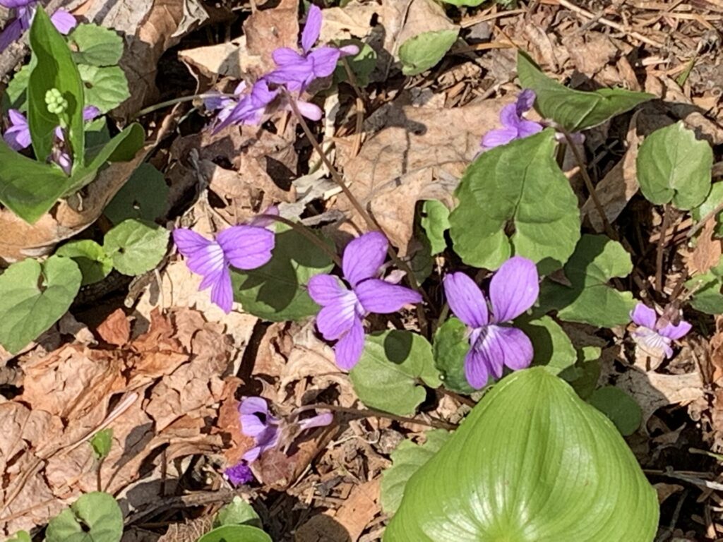
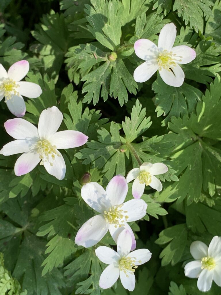
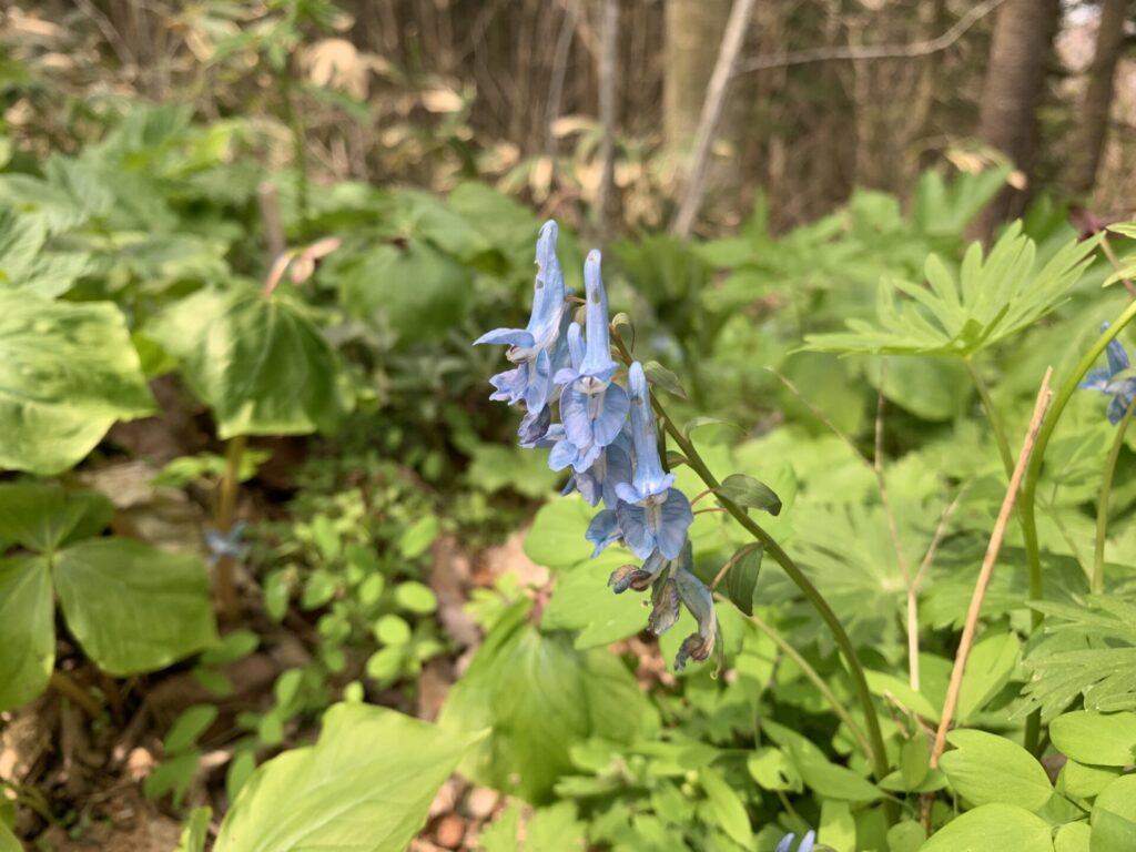
▼花
▼整備された林
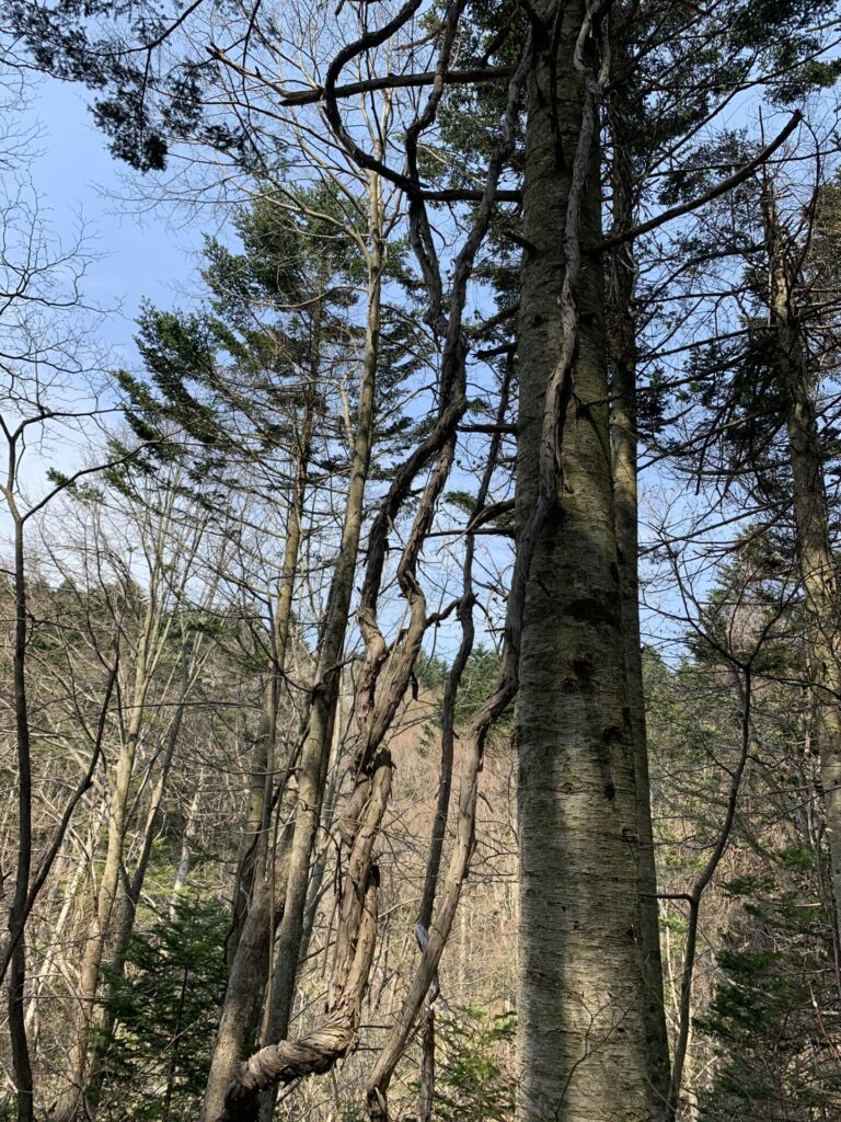
▼太い寄生木
▼花
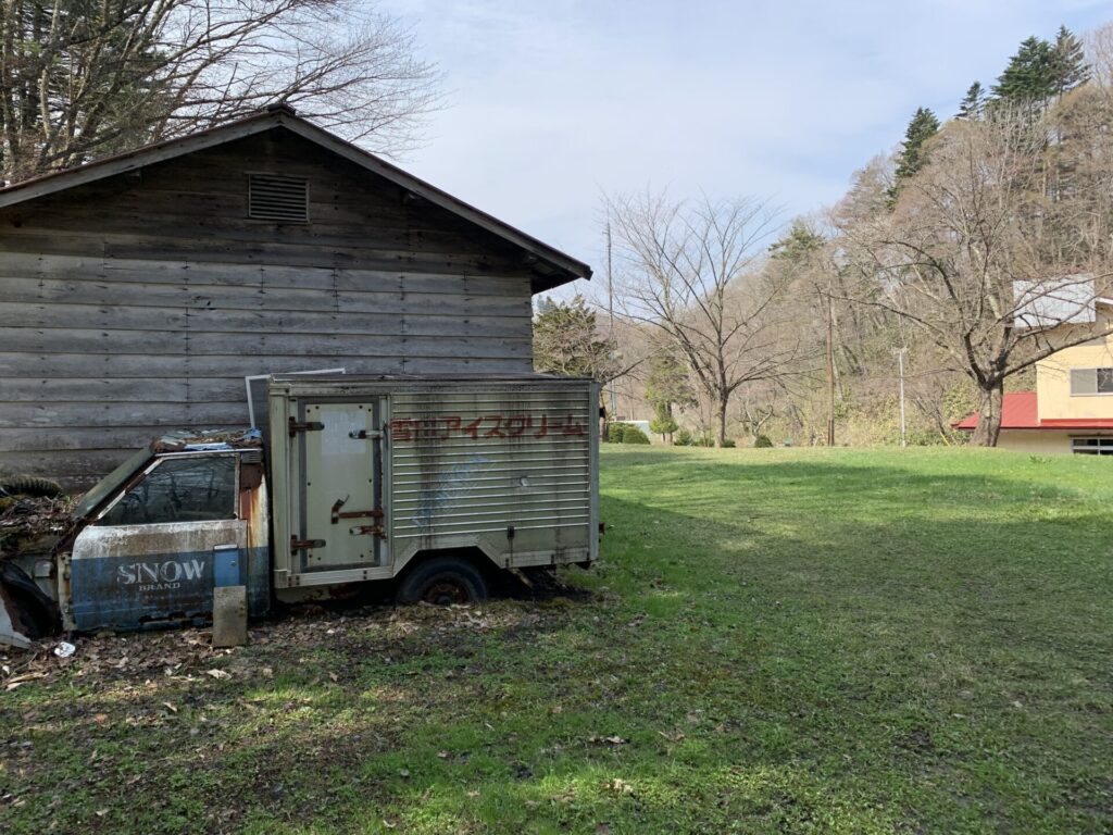
▼雪印アイスクリーム
▼家族連れ多し
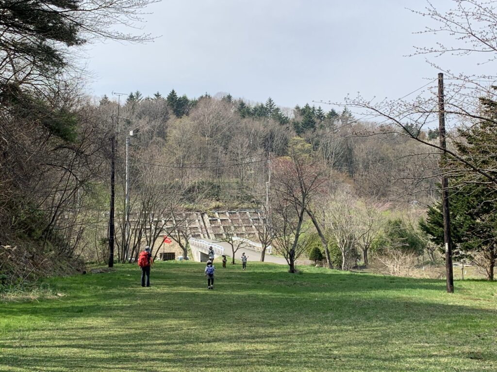
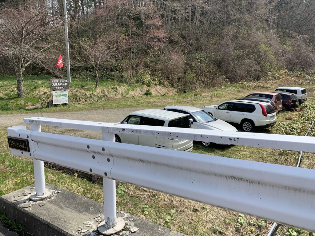
▼駐車場も車多し
▼位置

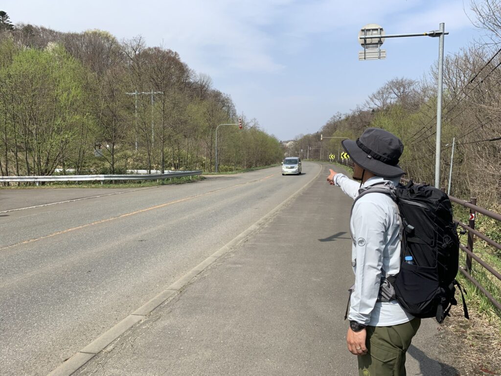
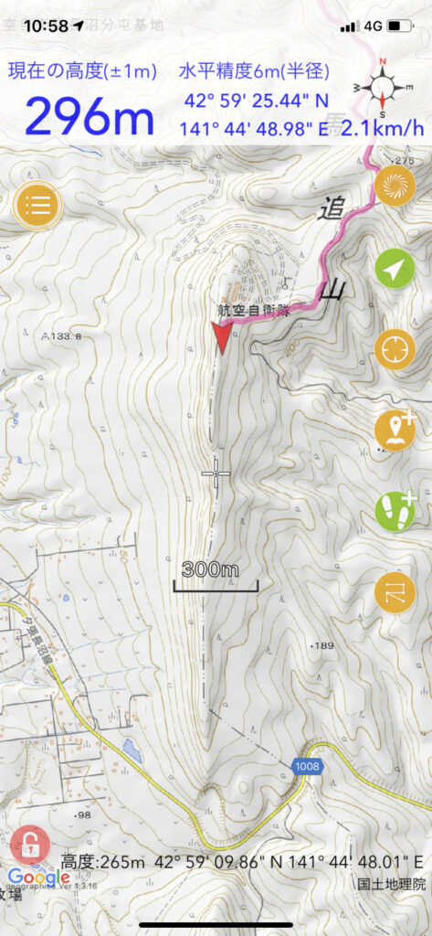
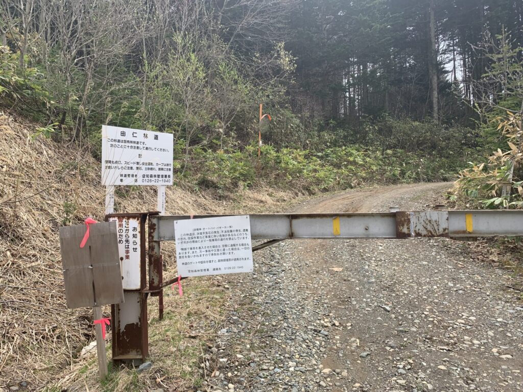
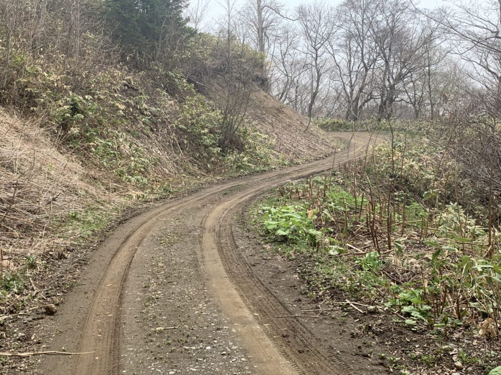
▼不安な人
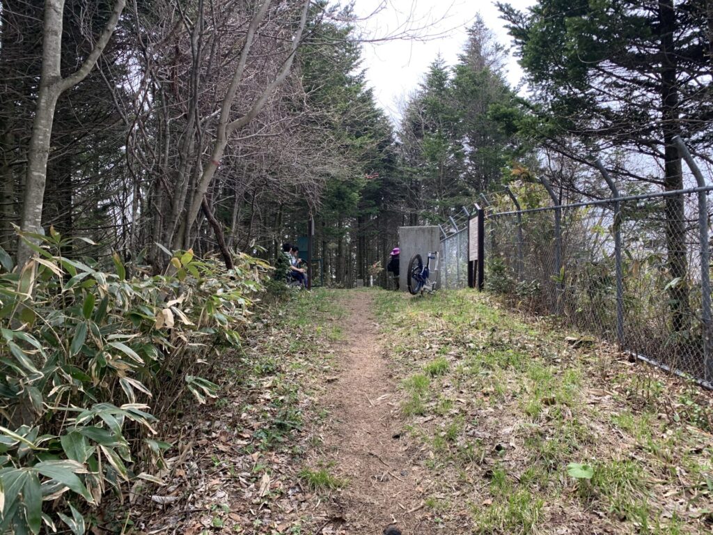
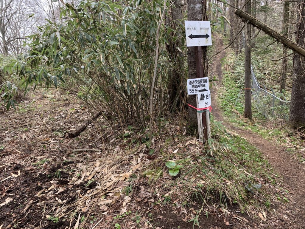
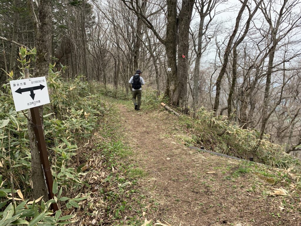
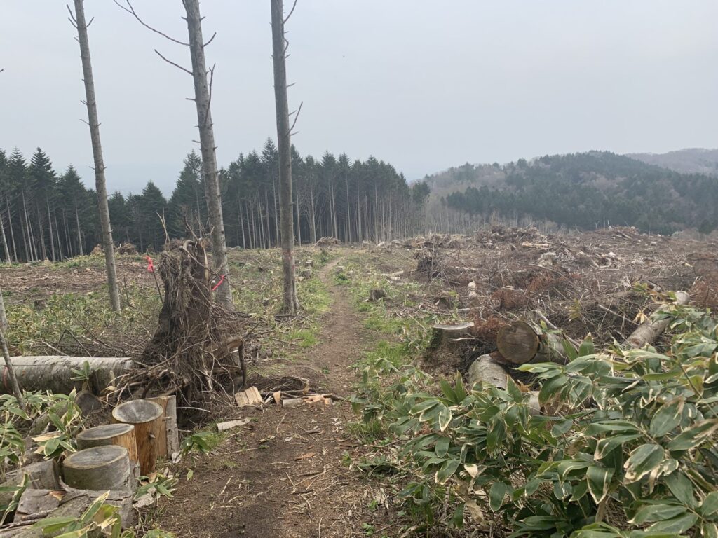
▼馬追自然の森遊歩道(D)入口
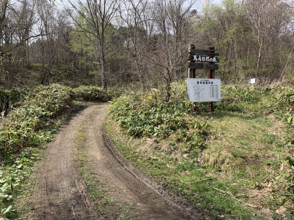
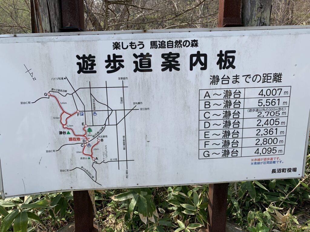
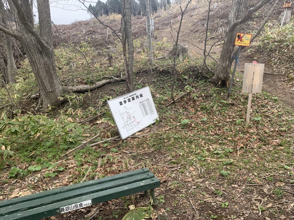
▼案内板
▼位置
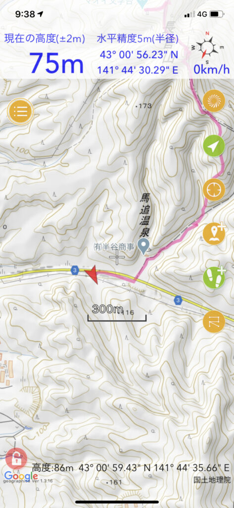
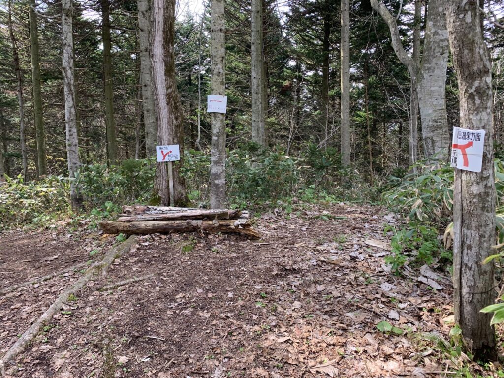
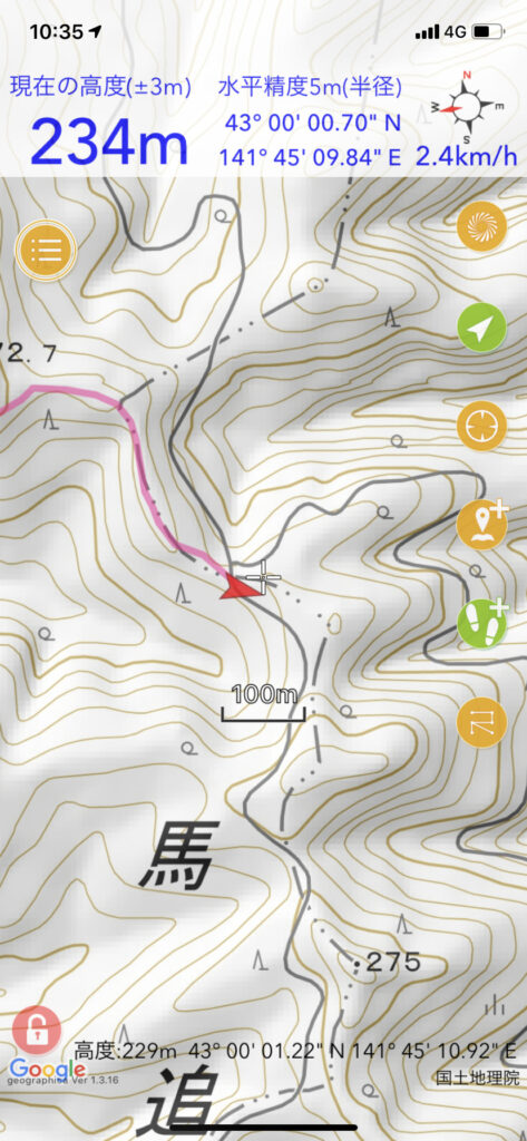
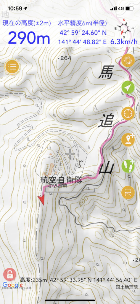
▼分岐で休憩 思ったより暑い。
▼位置
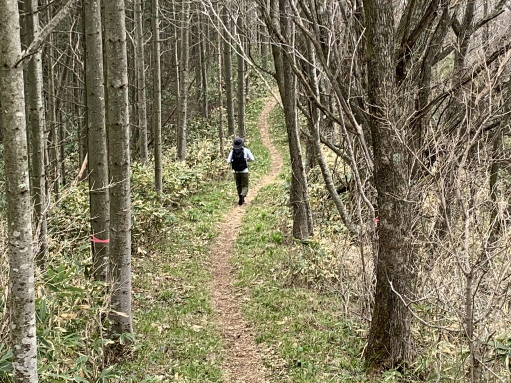
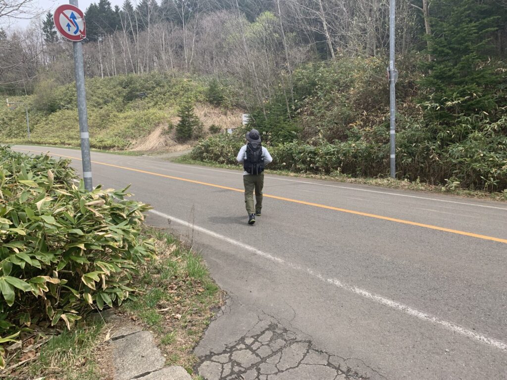
▼先行者
▼花
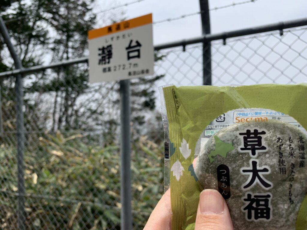
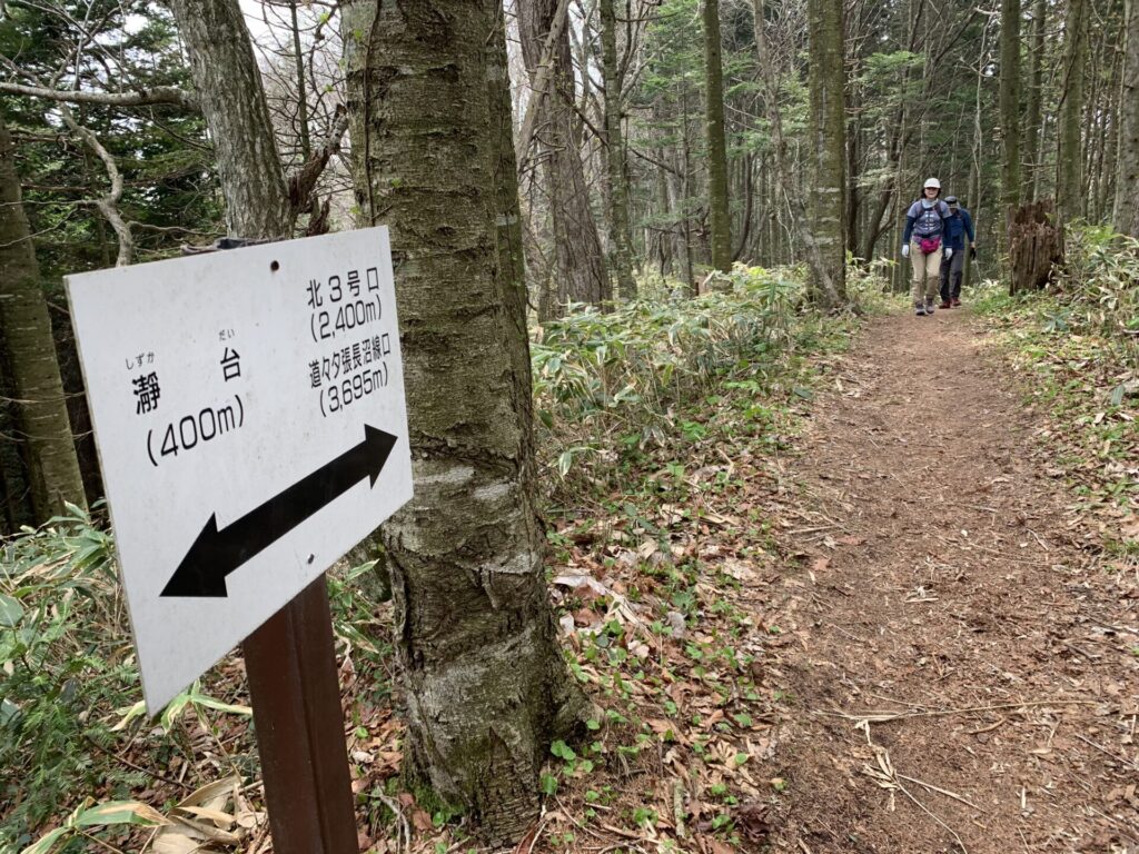
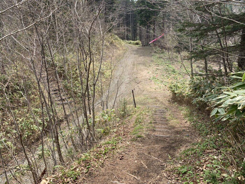
▼瀞台(しずかだい)には想像以上に混雑
▼草大福
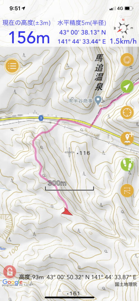
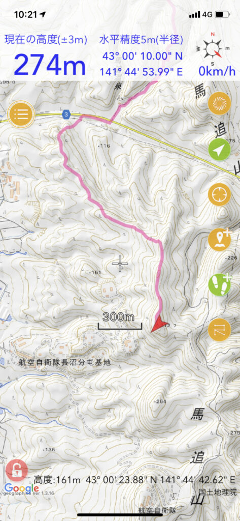
▼位置
JR栗山駅から馬追丘陵縦走、三川駅まで 2/2
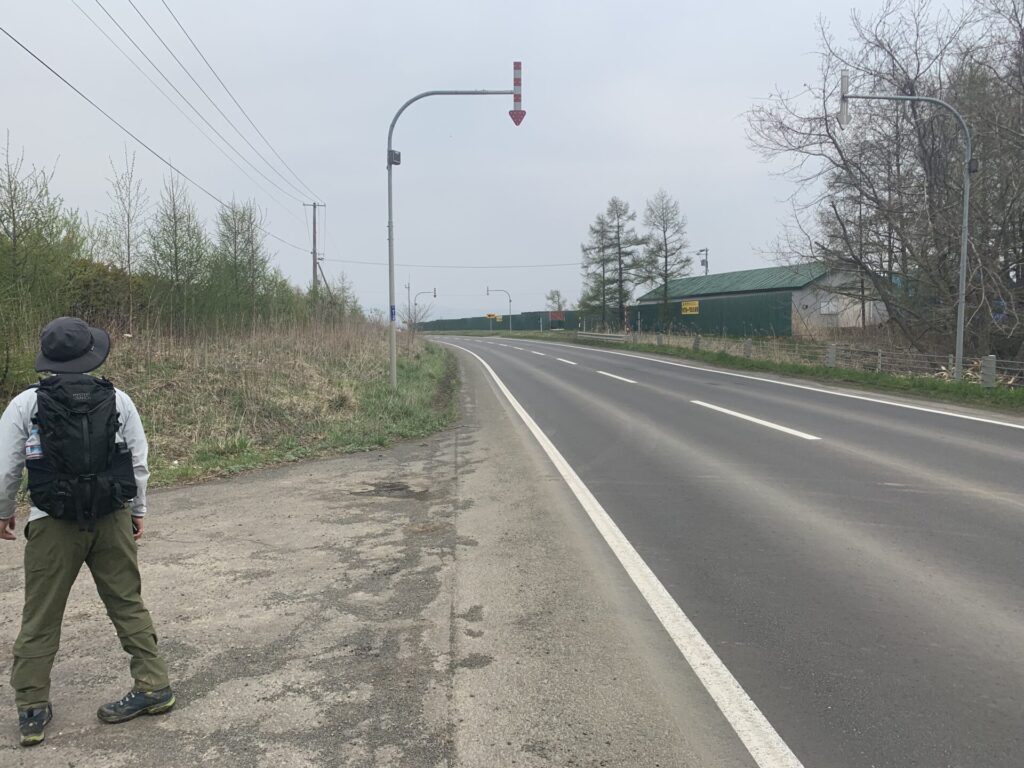
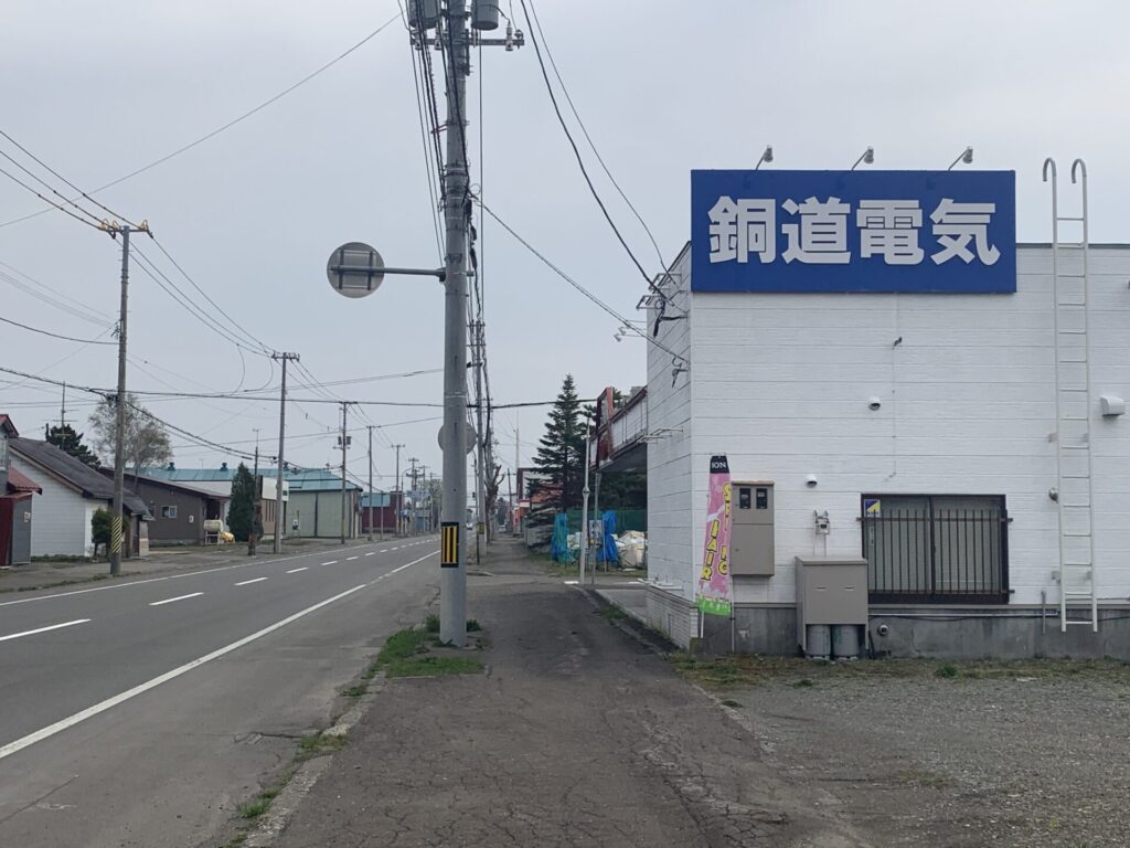
▼
▼
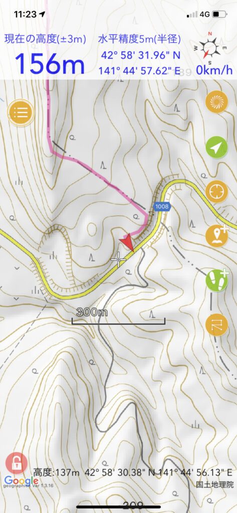
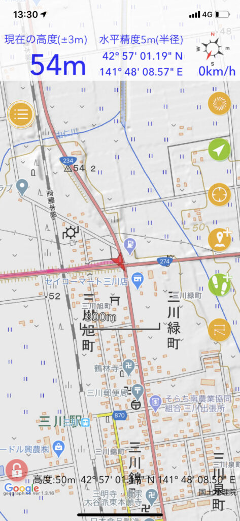
▼位置
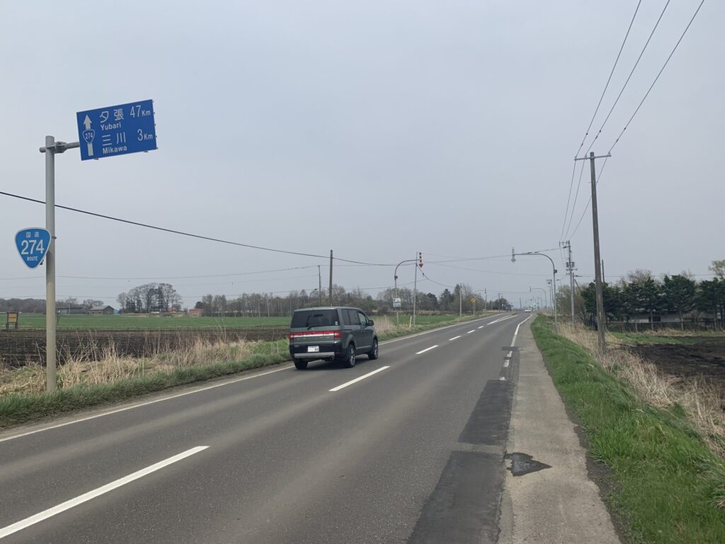
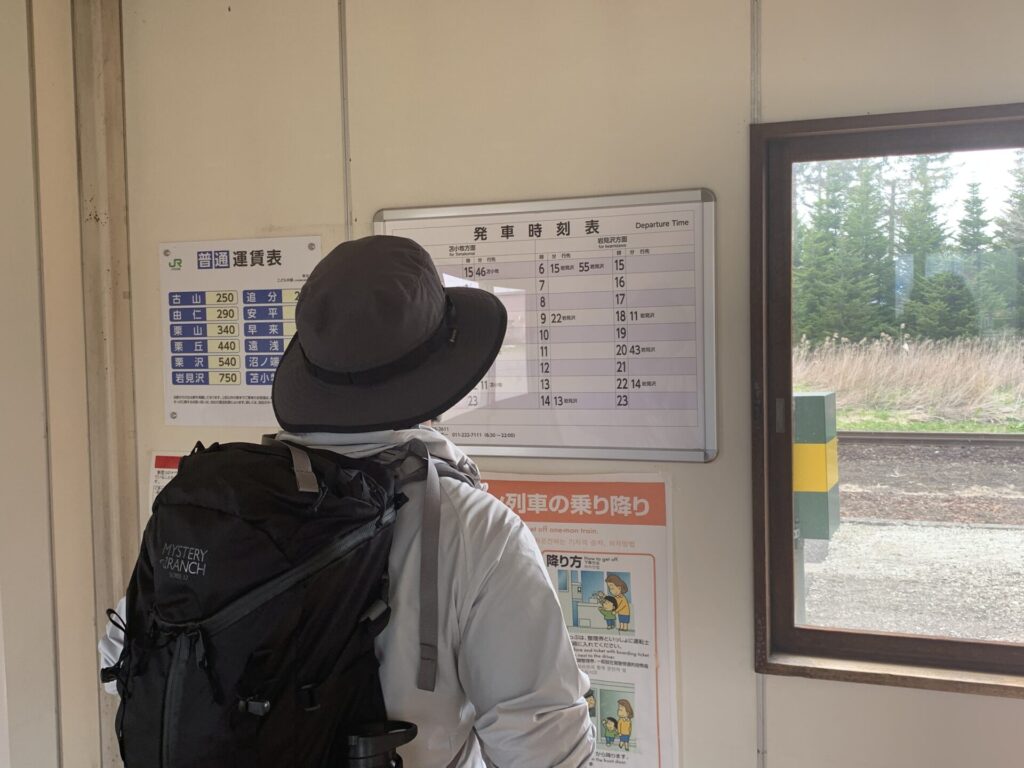
▼
▼
▼
▼位置
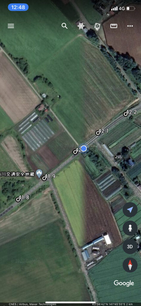
▼
▼位置
▼
▼
▼
▼
▼
▼
▼
▼
▼
▼
▼
▼
▼
▼
▼
▼
▼
▼
▼
▼
▼
▼
▼
▼
▼
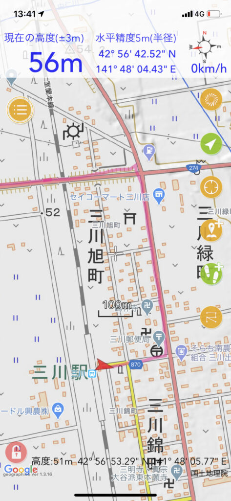
▼結果
出発時刻/高度: 06:32 / 27m
到着時刻/高度: 13:41 / 53m
合計時間: 7時間8分
合計距離: 27.14km
最高点の標高: 278m
最低点の標高: 17m
累積標高(上り): 737m
累積標高(下り): 706m
消費した水分量:0.7L
消費カロリー:2,349kcal
歩数:41,375歩
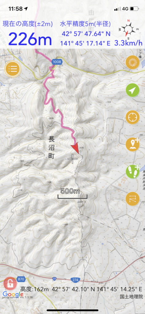
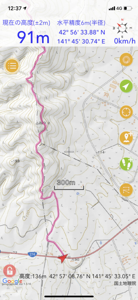
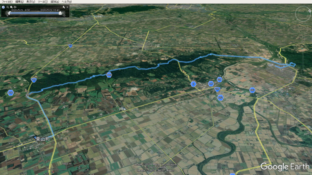
▼軌跡図
ヤマレコ
??ޥ쥳

???Ե?Ͽ: JR?????ؤ??????ɵ??ͽ?????????ؤޤ?
2020ǯ05??03??(??????) ???ڶ??, ?ϥ????? / pico_mint?λ??Ե?Ͽ